- Use Case Survey
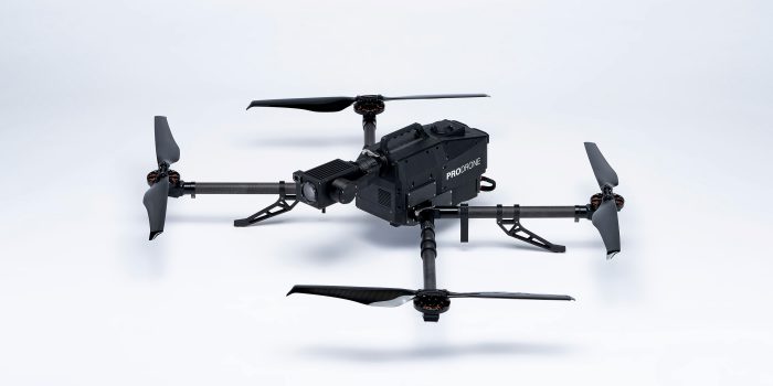
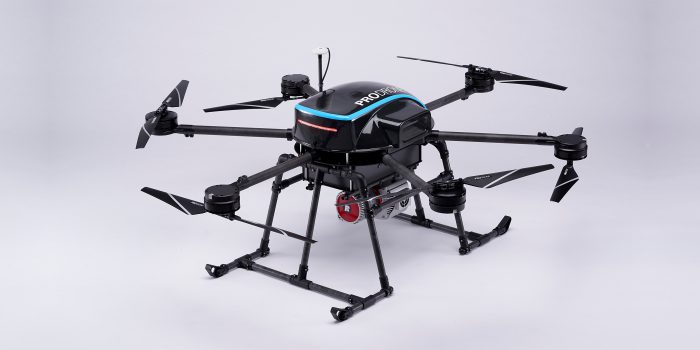
- Private: PD6B-Type2
- January 2019
Planning
The Pro Drone GCS will automatically draw a flight path when you select a target field. You can change the overlap rate, camera settings and more to ensure that you get precise data.

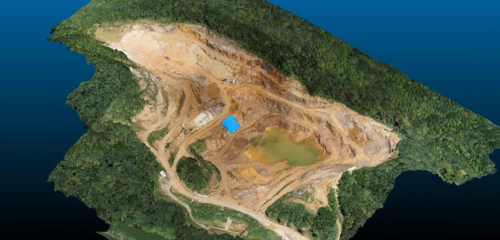
The use of drones for surveying has expanded into a variety of fields such as construction, land development and mining. The performance of the drone is critical for the success in operations that require the acquisition of high-precision data and data accuracy.
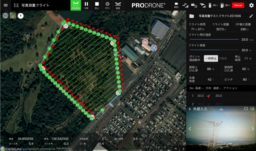
The Pro Drone GCS will automatically draw a flight path when you select a target field. You can change the overlap rate, camera settings and more to ensure that you get precise data.
We cover all the essential elements of drone surveying such as high payload capacity, flight stability, original GCS overlap for surveying applications, flight path autogeneration and dispatching a professional pilot to perform the flight operations. We can meet a wide range of your surveying needs.
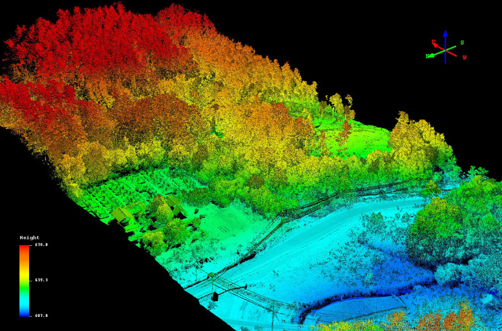
By combining the undistorted image data acquired by a global shutter-equipped camera with third-party image processing software and services, it is possible to generate highly accurate ortho-images, DSMs and 3D point clouds.
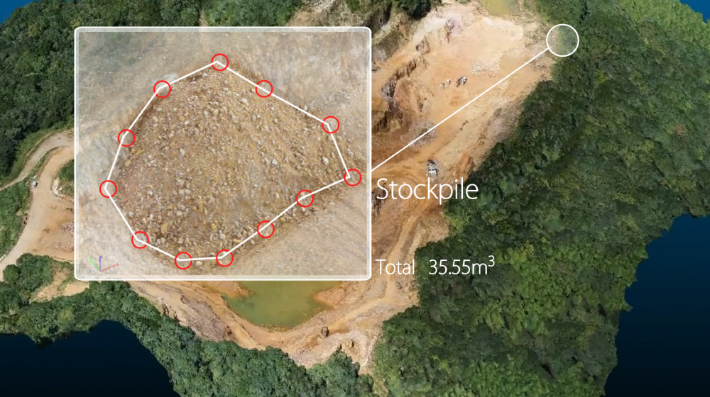
Drone surveying is also useful for progress management at mines and construction sites. By operating on a regular schedule, it is possible to monitor the progress of construction work, such as measuring stockpiles.