
Surveying & Mapping
High-Precision Data That
Accelerates Field Decisions
Drone surveying that combines LiDAR with photogrammetry acquires high-precision data tens of times faster than conventional ground surveys. Across construction, civil engineering, agriculture, and disaster prevention, it supports site visualization and digital twin construction.

LiDAR Mapping
Precision Point Cloud Acquisition with LiDAR
Use Cases
Drones equipped with high-density LiDAR sensors fly at low altitude over vast areas, acquiring precise point cloud data at millions of points per second. 3D measurement of complex terrain — forests, construction sites, mines — that was inefficient with conventional ground surveying can be completed in a short time.
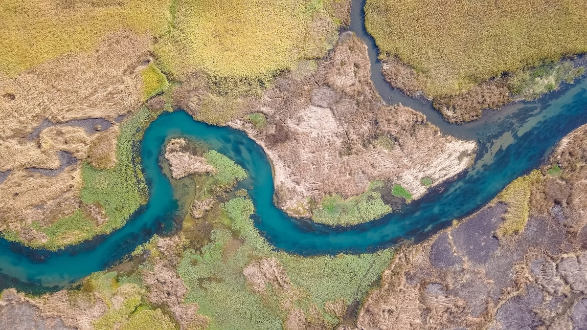
HYDROGRAPHIC & FLOW SURVEY
Hydrographic & Flow Survey
Use Cases
Using the latest technologies — such as water-penetrating green-laser LiDAR and Acoustic Doppler Current Profilers (ADCP) — we precisely measure underwater terrain and water flow. Airborne laser measurement from drones captures wide-area riverbed 3D data, while ADCP profiles accurate flow velocity, discharge, and depth at every level of the river. Even in waters that are dangerous for conventional manned boats, such as fast-flowing rivers and shallows, safe and highly accurate combined data acquisition is possible.

SATELLITE & DRONE MAPPING
Satellite-Linked Remote Surveying
Use Cases
We are working toward next-generation multi-scale surveying that combines wide-area data acquisition by LEO (low Earth orbit) satellites with high-precision, pinpoint measurement by drones. First, satellite data is used to broadly grasp and screen the terrain of the entire target area and to identify areas that need more detailed data. Drones are then deployed there to capture fine 3D point cloud data. Through real-time data linkage via satellite communication, we aim to build a system that visualizes both the big picture and the details with unprecedented speed and efficiency — even across vast mountainous regions and disaster-stricken areas.
Products Best Suited for This Solution
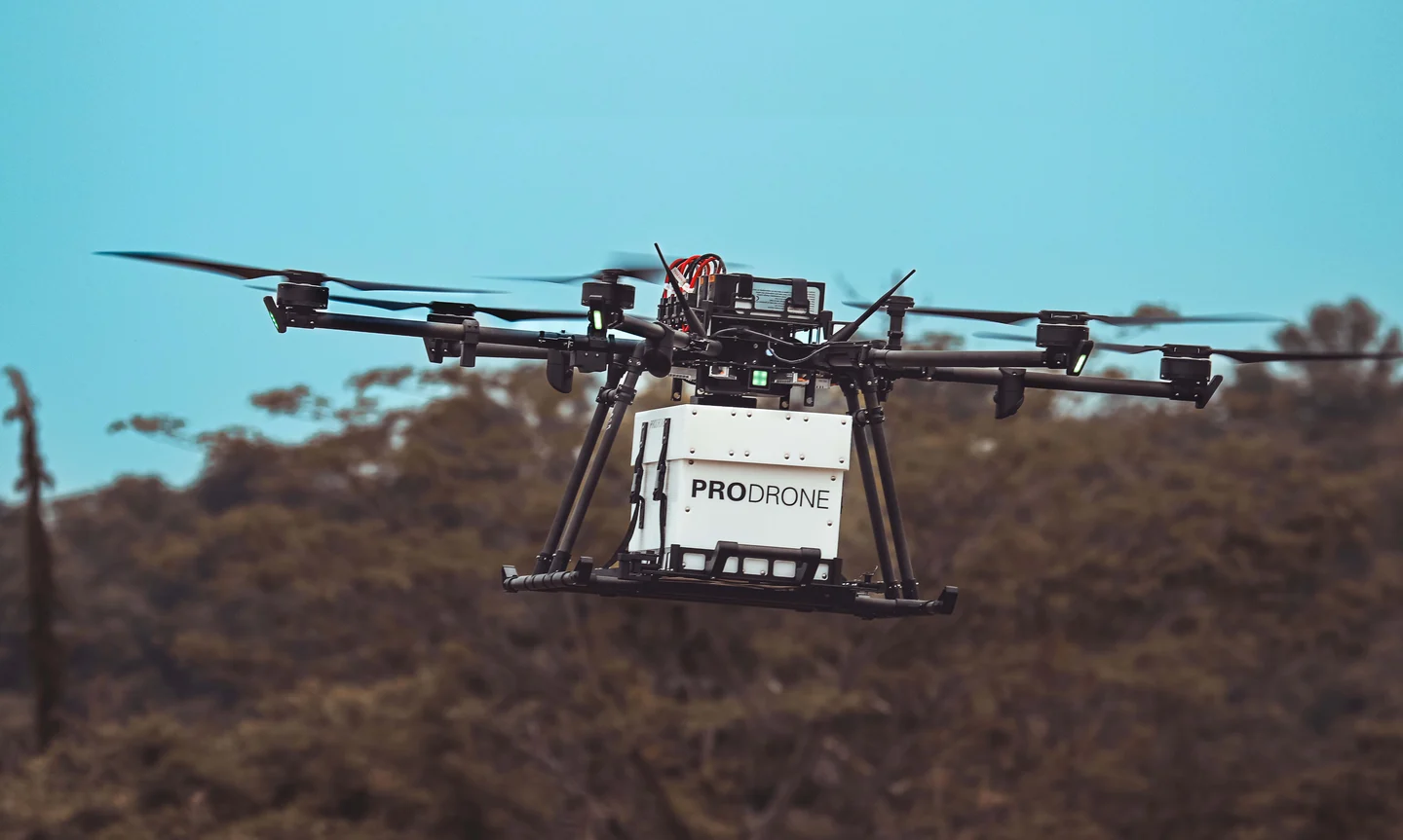 01
01PD6B-Type 3
Level 3.5-ready,
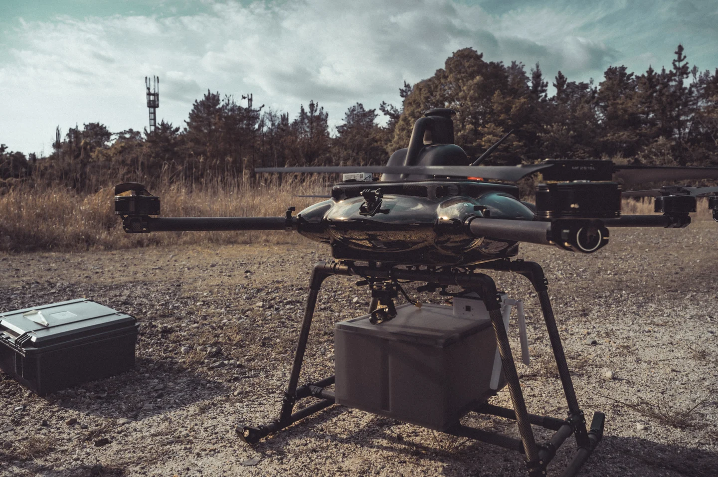 02
02PD4B-M
An all-weather, high-agility quadrotor. Engineered for surveillance and surveying missions in rain and strong winds.
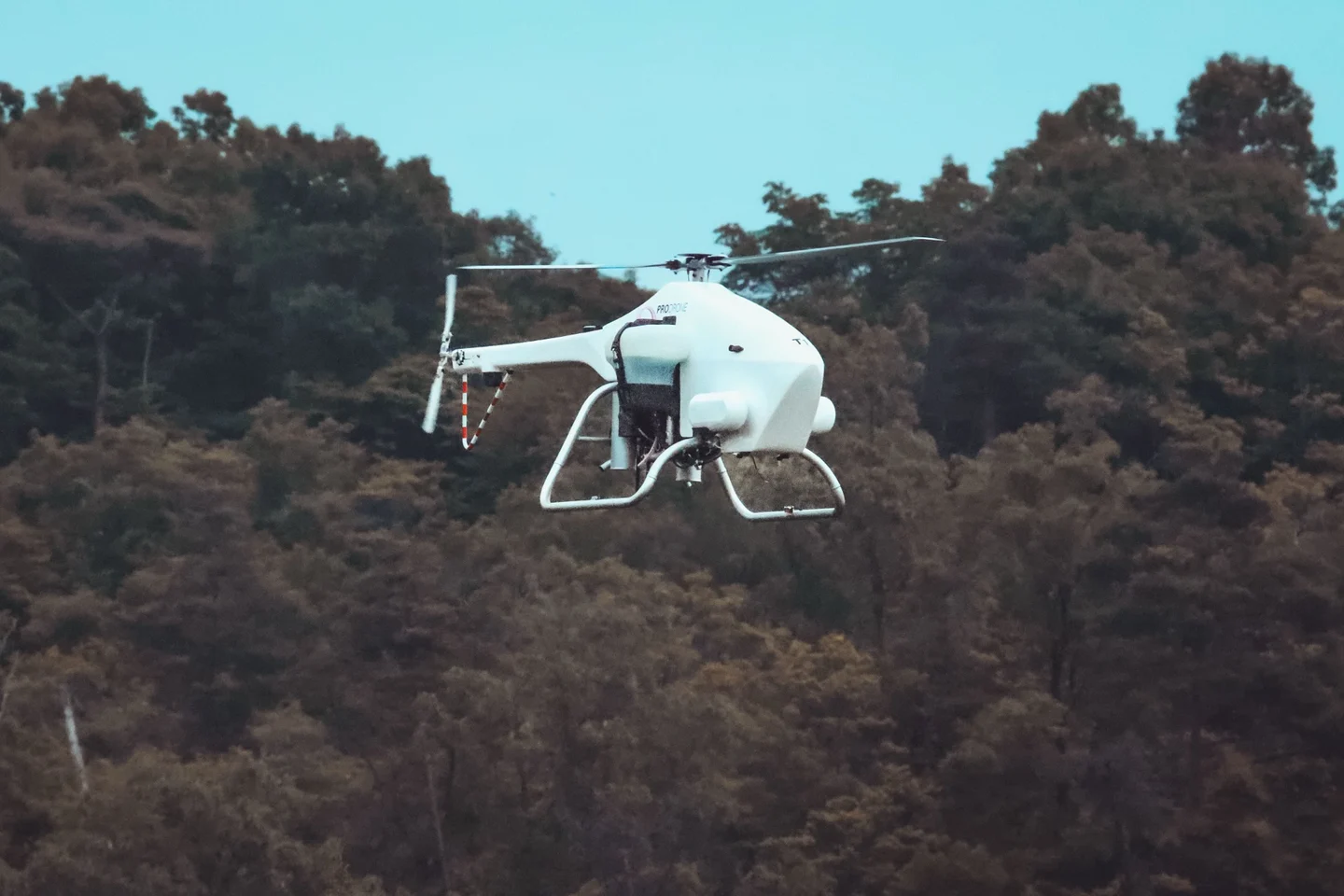 03
03PDH-GS120
A tethered long-endurance system delivering stable aerial surveillance and communications relay around the clock.
 04
04GT-M
A ground-deployed unmanned platform that autonomously handles reconnaissance and transport missions across complex terrain.
 05
05PD-GCS
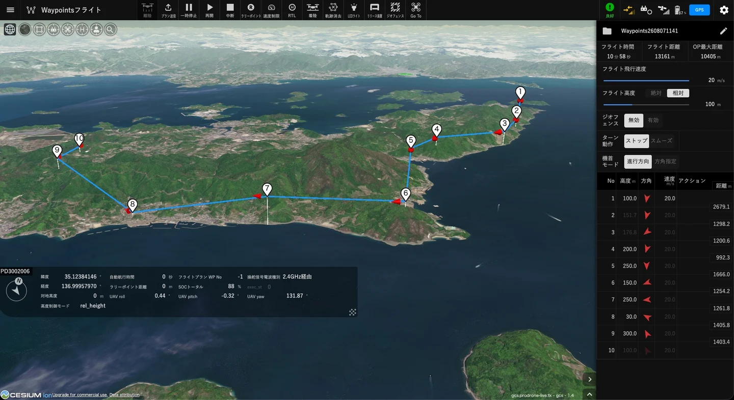
A Japanese-made GCS packed with
On to the Next Mission
Product demos, deployment consulting, partnerships — reach out anytime.
Our dedicated team will respond fast.