High-altitude specially designed drone plays an active role in surveying earthquake disaster in Nepal
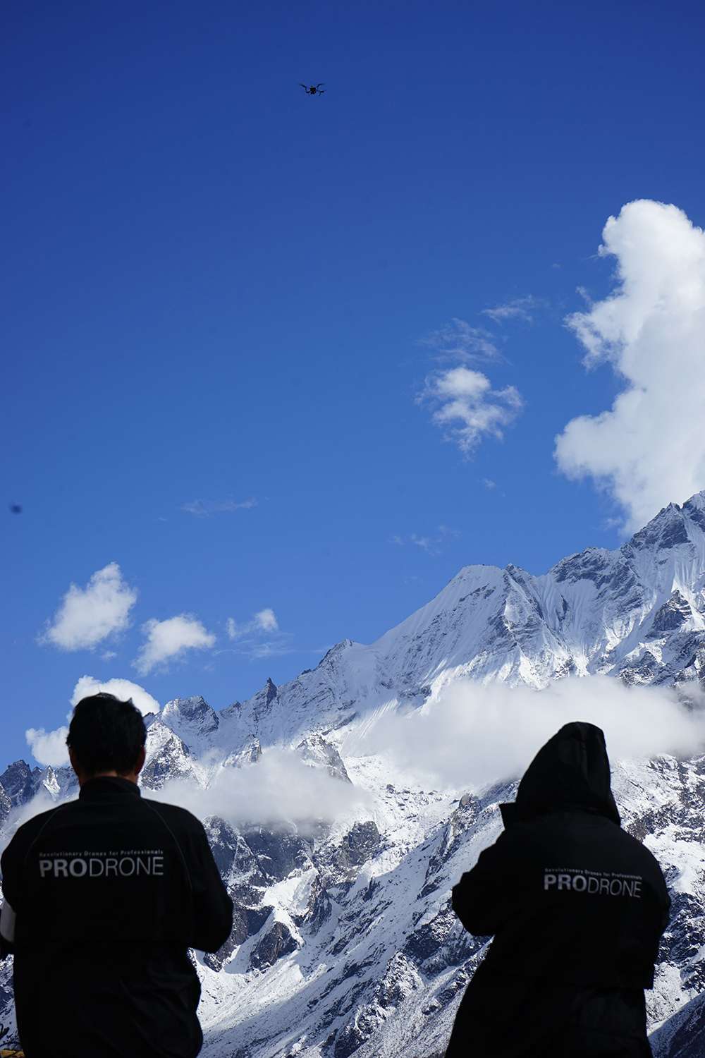
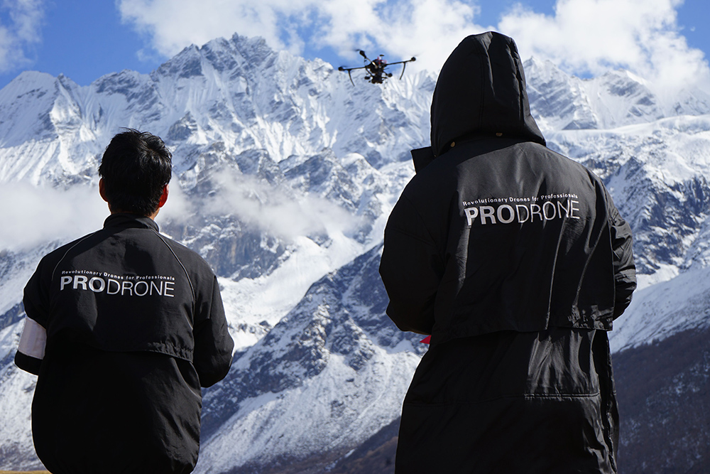
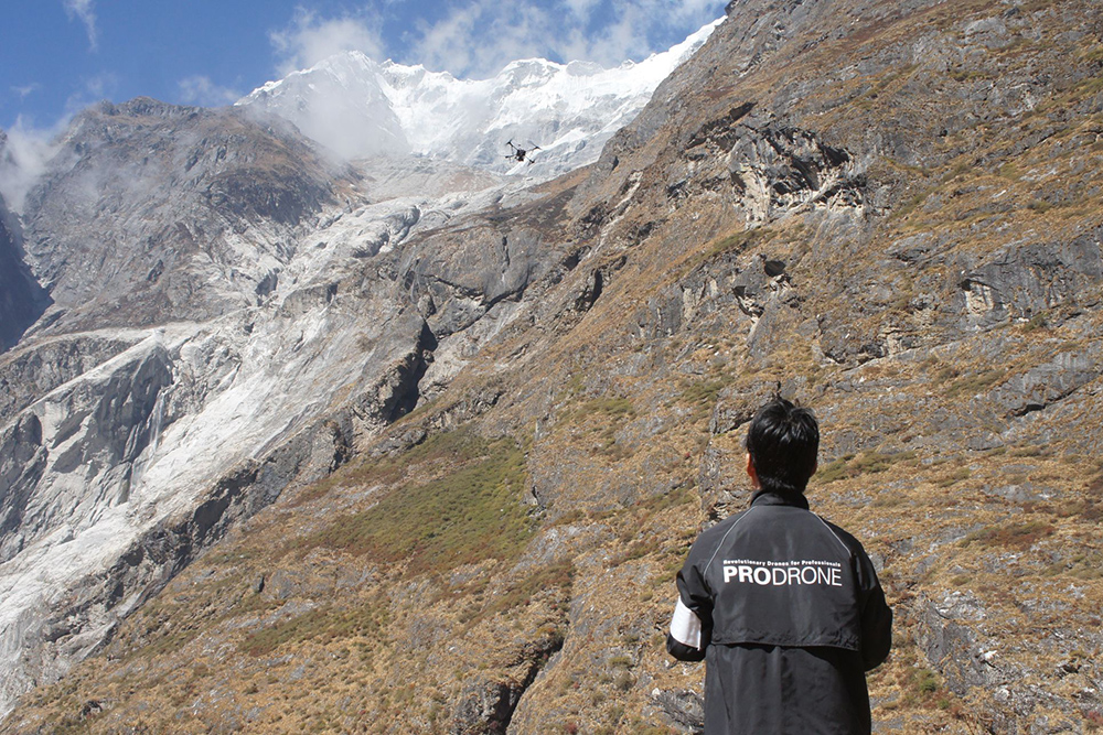
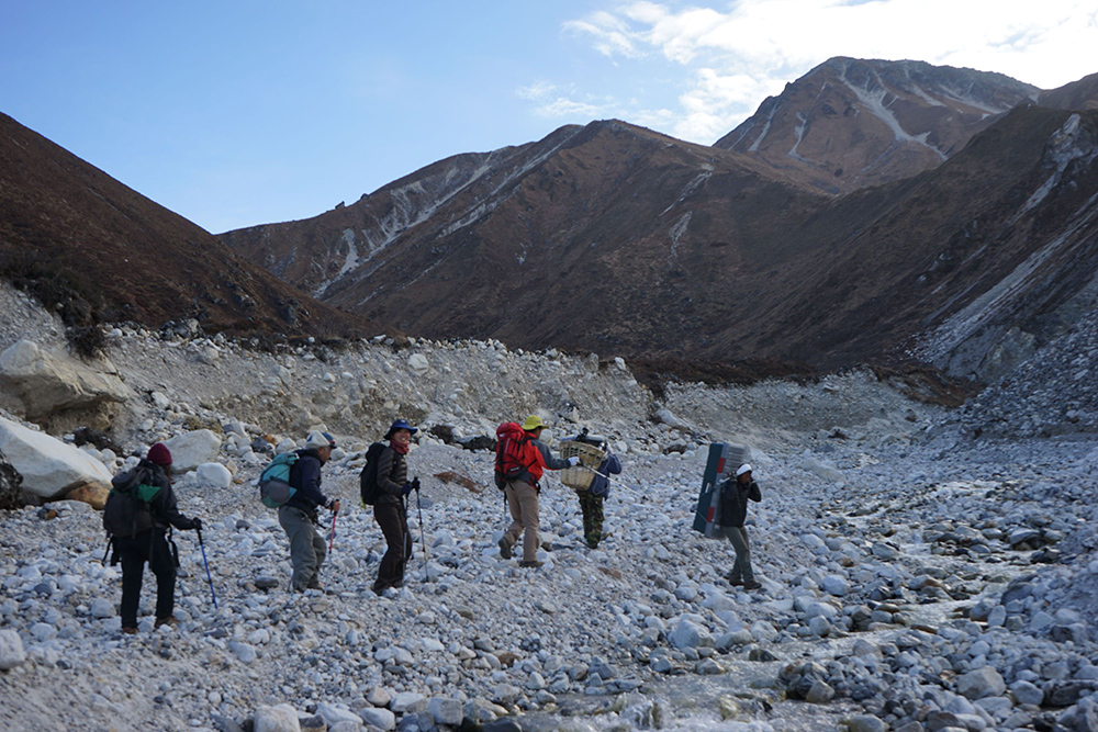
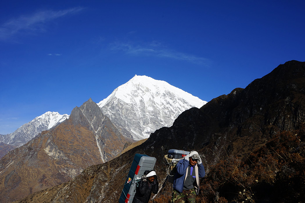
In order to investigate the Langtang Valley, which suffered severe damage from the Nepal earthquake that occurred in April 2015, an emergency survey team made up of members from Nagoya University, Tokyo Metropolitan University, the National Research Institute for Earth Science and Disaster Prevention, and others successfully descended the mountain after completing a photogrammetry survey (October 19th to November 2nd) at Langtang Village at an altitude of approximately 3,500m and Yala Glacier at an altitude of approximately 5,100m. Our company cooperated in the design, development, and free loan of a specially designed drone for this photogrammetry survey. This new type of drone is a special specification aircraft that is equipped with DJI Japan's new motor (currently under test development) and a control device in a body designed by our company for high altitude use.It is equipped with a full-size digital single-lens camera (Sony α7R) and has the ability to fly for approximately 15 minutes at an altitude of 5000m. In this investigation, we carried out some tough missions, such as ascending from a take-off and landing point at an altitude of 5,115 m to approximately 5,500 m and flying for 15 minutes and 45 seconds, and climbing 1,000 m from a take-off and landing point at an altitude of 3,500 m to photograph the valley above the disaster site. This is the world's highest photogrammetry survey using a multi-copter drone (according to our research as of November 5, 2015). The more than 7,000 photographic data obtained through these efforts will be analyzed by the research team and will be used to identify the cause of the disaster and formulate a reconstruction plan for the Langtang Valley. According to Assistant Professor Takeki Izumi of Tokyo Metropolitan University, who was in charge of operating the drone, ``Even at altitudes exceeding 5,500 meters, it has plenty of power and is capable of stable flight, and I felt that it would open the door to new possibilities for disaster prevention, investigation, and research in mountainous regions over 6,000 meters above sea level.''
This article has been automatically translated into English using AI. The original content is written in Japanese. While we strive for accuracy, the translation may not fully capture the nuance of the original.
Related News

Establishment of Prodrone's First Mass Production Plant within Howa Machinery - Notice Regarding Third-Party Allotment of Shares with the Company as the Subscriber -